Wildlife corridor overview
Aims
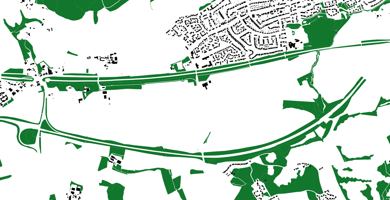
Identify areas of high connectivity between different land cover types, such as forests and grasslands. These areas are likely to be used by wildlife as corridors for movement.
Identify potential barriers to wildlife movement, such as roads or urban areas
Show column names
SELECT COLUMN_NAME
FROM INFORMATION_SCHEMA.COLUMNS
WHERE TABLE_NAME = 'topographicarea'
Show entries in descriptivegroup column
SELECT descriptivegroup
FROM topographicarea
Show entries in column which match Natural Environment in descriptivegroup column
SELECT *
FROM topographicarea
WHERE 'Natural Environment' = ANY (descriptivegroup)
Show entries in column which match Road in descriptivegroup column
SELECT *
FROM topographicarea
WHERE 'Road' = ANY (descriptiveterm)
Show entries in column which match Building in descriptivegroup column
SELECT *
FROM topographicarea
WHERE 'Building' = ANY (descriptivegroup)
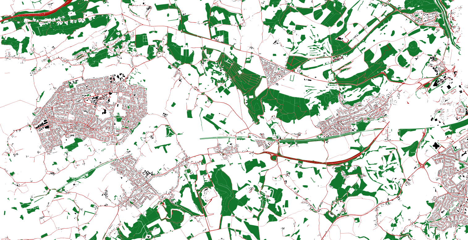
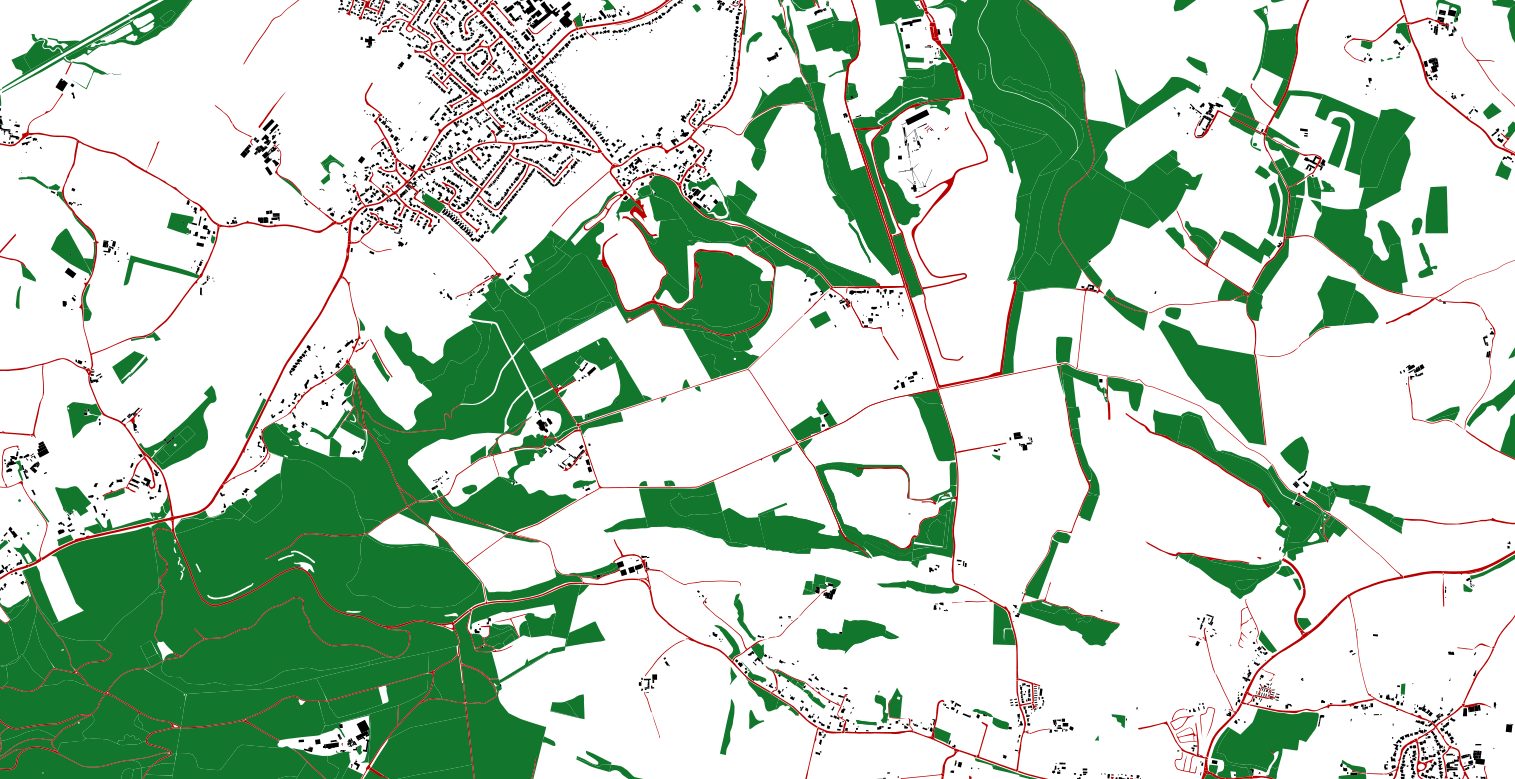
You can see how the edges or roads and railway tracs could be used as wildlife corridors.