The Royal Windsor Horse Show is an annual event that attracts thousands of visitors and is the largest outdoor horse show in the United Kingdom. In order to ensure that the event runs smoothly, it is important to provide reliable connectivity to the staff and trader areas.
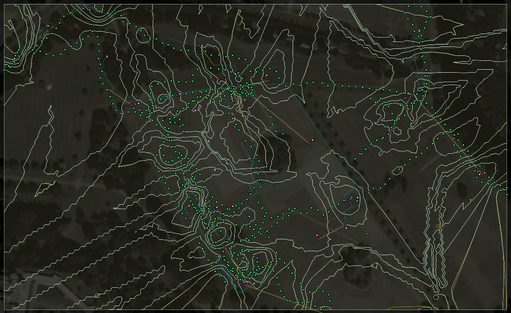
To achieve this, our team deployed a wireless network on the show grounds and created a heat map by taking geolocated signal strength readings on a smartphone from all over the site. This data was then uploaded into ArcGIS and used to create a heat map, which highlighted areas with weak signal strength or wireless black spots.
To help visualize the network and identify any potential issues, the heat map was overlaid on a georeferenced site map that showed the locations of wireless access points, cable routes, and network switch locations. By using this information, we were able to ensure that the staff and trader areas had the necessary connectivity to support the needs of the event.
Overall, the deployment of the wireless network at the Royal Windsor Horse Show was a success and played a vital role in the smooth running of the event. We are proud to have been able to support the needs of the staff and traders and help make the event a success.